
Geospatial technologies allow you to study accurate geographic information about our planet, obtain data for analysis, modeling, and visualization. The list of geospatial technologies includes geographic information systems, remote sensing, and global positioning systems. They provide a wide range of tools for data-collection, analysis, monitoring and making more effective decisions in various areas of human activity.
Today, multiple solutions related to geospatial technologies are often used in everyday life. They allow observing changes on the surface of our planet, tracking transport, cattle, population and migration of wild animals, even the number of steps taken per day, etc. In this article, you can find out how geospatial innovations transform different industries, helping them be more productive, sustainable, and profitable.
Application of Geospatial Technologies
Population growth, increased demand for food, and climate change are the main challenges for agriculture. This sector needs to find practical solutions to increase production sustainably, provide food security, and help adapt to changing conditions. Geospatial solutions give humanity a wide range of possibilities for research, monitoring, fulfillment of various scientific, military, and government tasks. They provide multiple benefits for different sectors where geographic location matters. The list of applications includes agriculture, forestry, transportation, law, ecology, aviation, meteorology, marketing, healthcare, and others. You can find more information about GIS applications and other geospatial innovations here https://eos.com/.
Agriculture
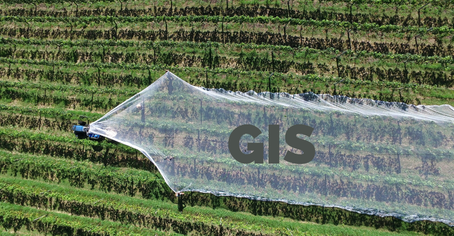
Source: start.agritask.com
Described technologies are the basis of precision farming. This concept involves using geographic data for crop monitoring, threats detection, forecasting, resources management, and many other purposes connected to protecting and increasing yields. Accurate data, obtained from satellite images and other reliable sources, enables agrarians to make effective data-based decisions, ensure rational resources application and significantly increase the outcome from their lands.
GPS, remote sensing and GIS are beneficial for small farms and large agricultural enterprises. However, as for the large farm, geospatial tools and systems are time and money-saving.
Soil types, nutrient availability, and moisture content cannot be consistent over vast areas. Traditional analysis methods involve scouting operations, taking soil samples from different sites, etc. These methods are pretty labor-intensive and expensive, while geospatial technologies allow analysis to be carried out remotely. Furthermore, the researchers can combine traditional techniques with technological innovations to obtain accurate information. The precision results give farmers a chance to use fertilizers, water, pesticides, and other valuable resources more effectively.
Remote sensing and GPS are the backbones of most data collection and analysis methods. With their help, the vast agricultural lands can be divided into separate management zones. In the separation process, the system considers a variety of factors, including soil moisture, soil type, pH, crop type, and pesticide and fertilizer requirements. GIS tools come into play when the data needs to be saved and analyzed. GIS software is critical for digital mapping. Moreover, the combination of GIS and GPS technologies is the key to automated control of agricultural machinery.
Transportation

Source: medium.com
Geospatial technologies are also successfully applied in the transportation industry. Innovative technological solutions help create effective plans, monitor and manage transport systems. In particular, GIS is the most widely used tool in the given sector. This technology is essential for determining roads’ increased throughput, maintaining transport systems’ optimal operation, and identifying critical investments. GIS is used for highway maintenance, route planning, traffic simulation, and accidents analysis. It offers reliable solutions for highway maintenance problems that are effective and lower costs.
The most crucial goal of GIS applications in transport is visualization, provided by maps. The transportation planners can use visualized data to detect potential issues in real-time. In addition, the maps provide an opportunity to convey this information to decision-makers and the public.
Traffic modeling would hardly be possible without GIS data converting it into functional highway models. Based on the obtained data, specialists create road networks around the world. 3D models of large transportation networks with proper geometry and coordinated topography are generated from GIS database maps. These models allow real-time road simulation and interactive visualization of the virtual world and autonomous vehicle navigation. They also have to illustrate routes and simulate traffic, including the location of intersections, highways, areas of permitted confluence, smoothly connected ramps, etc.
Geographical data provides irreplaceable assistance in analyzing accidents and helps reduce their number. The software can carefully select and validate data and then perform spatial analysis of the results before and after processing. In this way, specialists can obtain spatial statistics that are data-driven and georeferenced. Transport companies use these opportunities to analyze the history of incidents. GIS enables identifying frequent road traffic accidents to eliminate the threat.
Benefits of Geospatial Technologies Application
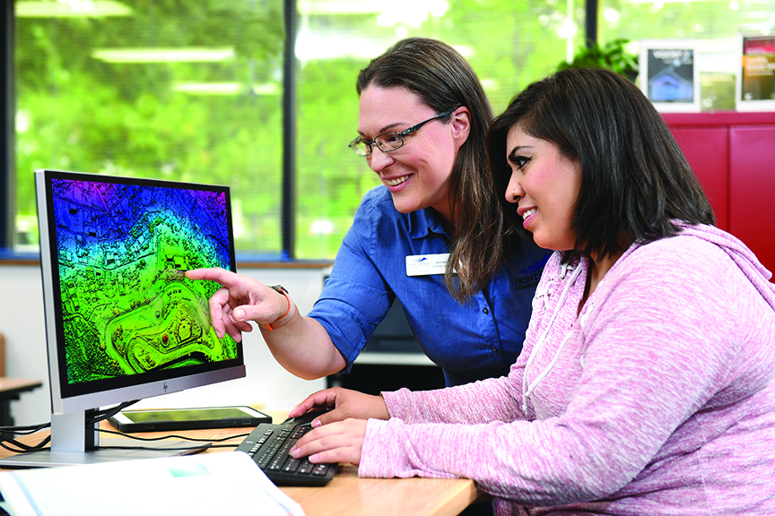
Source: frontrange.edu
Geospatial tools and systems significantly expand the possibilities of various industries. The benefits relate to precision data, analytics, and monitoring tools. Using geographical data in agriculture and transportation allows collecting and analyzing data, finding patterns, and identifying the causes of various problems. It can help to reduce the human factor influence and optimize multiple work processes. Many events and changes in various industries can be monitored in real-time remotely.
These technologies can also help make more effective decisions based on accurate data. Visualization and GIS maps can also significantly enhance communication between decision-makers and the public and between employees within organizations.
One of the most meaningful benefits of geospatial technology adoption is improved forecasting and management. For instance, we can get a hyperlocal accurate weather forecast and take measures to protect the crop from the effects of weather conditions in advance, thus avoiding damage. Geospatial solutions also help identify potential fires and control the spread of wildfires, which can help improve the efficiency of rescue operations and minimize damage.
Conclusion
Remote sensing, GPS, and GIS enable obtaining accurate data and transforming it into valuable information for various sectors. The use of geospatial technology-based innovations helps to increase the sustainability of multiple industries and reduce the human impact on the environment through more accurate and efficient resource management. In addition, for many sectors, including agriculture, the introduction of geospatial technologies offers the opportunity to increase profits by increasing productivity and saving resources.